
This post is also available in: Ελληνικα (Greek)
Aside from Antarctica and Greenland, Canada has more glacier area than any other country! Most of this glacier coverage is found in the Arctic, where rapid melting is contributing to sea level rise and the mountain glaciers in British Columbia, Alberta, Yukon and Northwest Territories, which are critically important sources of freshwater that support fish, wildlife and communities.
In the summer of 2011, I participated in GeoNatHaz, an international field school in Canada, which is devoted to “Enhancing International Earth Science Competence in Natural Hazards Research”. My adventure started in Yukon together with 8 international students and the professors John Clague, Marco Giardino, Philippe Deline and Luiggi Perotti.
Yukon is a wilderness wonderland! Kluane National Park located in the southwest corner of the territory covers thousands of kilometres, dominated by mountains and glaciers with many options for hiking, rafting, camping and exploring spectacular views. It’s an amazing feeling to experience nature on a grand scale! I naturally fall in love with places that prove how small I am, that I have so much more to learn; that I am part of something bigger than myself.

Looking down the Slims River valley with the Kaskawulsh glacier at the end.
It was the first time I have experienced such a spectacular view of a Glacier!
We day hiked Bullion Plateau Trail, starting from the Tachäl Dhäl (Sheep Mountain) visitor centre. We went through the brown bear country with the abundant red wildflowers and the views along the trail, which stretch down the Slims River Valley (Ä’äy Chù) and Sheep Creek valleys all the way to the toe of the Kaskawulsh glacier.


Bullion Plateau Trail. Walking through the brown bear country with the abundant red wildflowers and the spectacular views!
Glaciers are sensitive indicators for climate change in mountain regions!

Flight over huge summits and icefields of Kluane Glacier.
During our project, we focused on the fluctuations in the water levels of Kluane Lake in Yukon, caused by the movement of Kaskawulsh Glacier. The study of the Kluane Lake level’s history is very important in order to have a better understanding of the glaciers activity and consequently past climate changes in Northern Canada, which will help us with future forecasts.
The Arctic Insitute of North America’s (AINA), Kluane Lake Research Station (KLRS) provided us with the best accommodation and support for our research, training, and education program. Its a research centre located on the shore of Kluane Lake, within the traditional territories of the Kluane First Nation, surrounded by forest and situated at the edge of the largest non-polar icefield in the world, the St. Elias Mountain Range, which is part of UNESCO World Heritage Site.
During summer Kluane lake comes alive with sunshine, mountain blue birds, cloud reflections and red wildflowers. The summer days are long and warm and make the mind wander in this unmatchable natural setting. Enormous glaciers and massive mountains dominate this region all year long.


Kluane lake – August 2011
We were walking around the Kluane Lake, while Dr John Clague was talking about the lake’s level historical fluctuations…
According to many studies, a small change in the average temperature that occurred during the Little Ice Age, modified Kaskawulsh Glacier’s dimensions and position, which had huge effects on the Kluane Lake level variations.
Kluane had southerly drainage to the Pacific Ocean from, at least, 800 A.D. until 1650 A.D. During 1650 A.D. the maximum ”Little Ice Age” advance of Kaskawulsh Glacier deposited large amounts of sediment in the Slims River valley causing an increase of the Lake’s level of about 12 meters drowning forest and stranding driftwood on a conspicuous high-stand beach, remnants of which are preserved at the south end of the lake.
The sudden increase of the Lake’s level stopped when it found different drainage route through Duke Creek (north of Burwash Landing). Afterwards Kluane River started to erode the fan of Duke Creek, causing a slower decrease of the Lake’s level; that’s continued until an equilibrium between erosion and deposition was reached (1750 A.D.) at the current level. The course of the Slims River was established into Kluane Lake which eventually overflowed to the north; the Lake drained into the Kluane River whose waters flow into the Bering Sea, through Donjek, White and Yukon streams.

Duke Creek – August 2011

Duke Creek – August 2011


Before 1650 A.D, Kluane had southerly drainage to the Pacific Ocean. During the ”Little Ice Age” at 1750 A.D, the course of the Slims River was established into Kluane Lake, which eventually overflowed to the north.
Evidence of Kluane lake level variation
Exploring along the south-western shoreline of the Christmas Bay (SW Kluane Lake), we found some evidence of the historical level fluctuations.
1. Standing dead trees on the shoreline
There are some standing dead trees on the shoreline, which demonstrates that the Lake level was below the current one during their entire life. Dendrochronology dating of some “snugs” still standing on the Christmas Bay, prove that they suddenly died around 1650 A.D, when the lake’s level increased. The age of those trees at that time, varied up to 700 years.


Standing dead trees on the shoreline
2. Ancient lake shoreline
Several kilometres north of Christmas Bay, there is evidence of an ancient shoreline along the Kluane Lake, which looks tens of meters long with an eroded surface consisting of gravel and sand. This feature is almost horizontal about 12 meters above the current level of the Lake, which is evidence that it can’t be a glacier deposit because it would have an incline.

Ancient lake shoreline
3. Tephra layer on the bank
On the slope of the bank, we identified the ”White River tephra”, a layer below some ten’s centimetres of silt. This tephra horizon is the product of an eruption from Mount Churchill, a stratovolcano located approximately 25 km west of the Yukon and can act as time marker (1200 A.D). We have observed that Kluane Lake shoreline was 12m above its modern elevation, after the deposit of white tephra, which means that the increase of the Lake’s level happened after 1200 A.D.

”White River tephra”, as a time marker, for the ancient level of Kluane Lake.
4. Young living population of trees on the bank
The current tree population on the Kluane Lake bank – below the ancient shoreline level, is aged up to 200 years that means the bank has been dry for 200 years until now. In 1750 A.D. the lake’s water level started decreasing as it drained through Duke Creek until it reached the current level.

Young living population of trees on the bank
.
Can the study of Kluane lake’s historical variations help us forecast the future ones?
John Clague had speculated in a 2006 study that the Slims River (Lhù’ààn Män) would eventually disappear, but nobody could predict the timeframe.”Establishing a new lower outlet south of the Slims River, as likely existed through much of the Holocene, will take considerable time. This will require headwater erosion of Kaskawulsh River, which we anticipate would take hundreds, if not thousands of years.”
Some years after the summer school, I found out that Clague’s published a paper about ”river piracy” in Yukon!
In spring 2016 in just four days between May 26 and May 29 ‘ river piracy’ was observed for the first time in modern history!
This is one of the most unique cases of river piracy that can occur in a changing climate! ”River piracy” can happen due to tectonic motion of Earth’s crust, landslides, erosion or, in this case, a change in a glacial dam. As the climate warmed — average annual temperatures increased by 2.3 degrees across Northern Canada between 1948 and 2016 — the Kaskawulsh glacier retreated so much redirecting the melt water to the Gulf of Alaska, thousands of miles from its original destination. Scientists found that the water has changed course and instead of flowing into the Slims River and then north to the Bering Sea, now flows south toward the Kaskawulsh River, the Gulf of Alaska and the Pacific Ocean.

After 1750 A.D, the course of the Slims River was flowing to the north. As the climate warmed between 1948 and 2016 the Kaskawulsh glacier retreated so much redirecting the melt water south to the Pacific Ocean.
The Slims River disappeared as intense glacier melt suddenly diverted its flow again changing course! Kluane river (A´ąy Chù) is also a shadow of the river it once was. Kluane lake’s summer peaks have dropped 1.6 metres and scientists say the lake could keep getting lower until it eventually stops feeding the Kluane River, Slims River (Lhù’ààn Män Tága), altogether.
It could be years before we understand exactly what the loss of the Slims River and Kluane River means. This of course will have a huge impact the local wildlife and people in the area. The Slims river disappearance already affects the people who live along Kluane Lake. According to Kluane First Nation Chief Bob Dickson, the water level in Kluane Lake has dropped so far that the existing boat launches are now, not even touching the water. The annual Kluane Lake fishing derby was cancelled because the boat launches had become too shallow. Salmon, and fish in general, need a certain amount of water to spawn and they don’t want their eggs frozen in the water. Also now that the water is no longer glacier-fed, the change in water temperature will have an impact on the fish habitat.
The study of Kluane lake fluctuation levels highlight the potentially dramatic impacts of climate change on hydrology, during the Little Ice Age in glaciered mountains and helped us to forecast future ones.
I feel nostalgic for Yukon adventures into Kluane lake National park with the huge mountains, the wild rivers, the endless forests and the breathtaking glacier views. Exploring Kluane has given me the chance to get in touch with my wildest side, has filled my mind with awe and wonder, which will be part of me for the rest of my life. I have realized that some of the most picturesque views on the planet may only be available for a limited time!
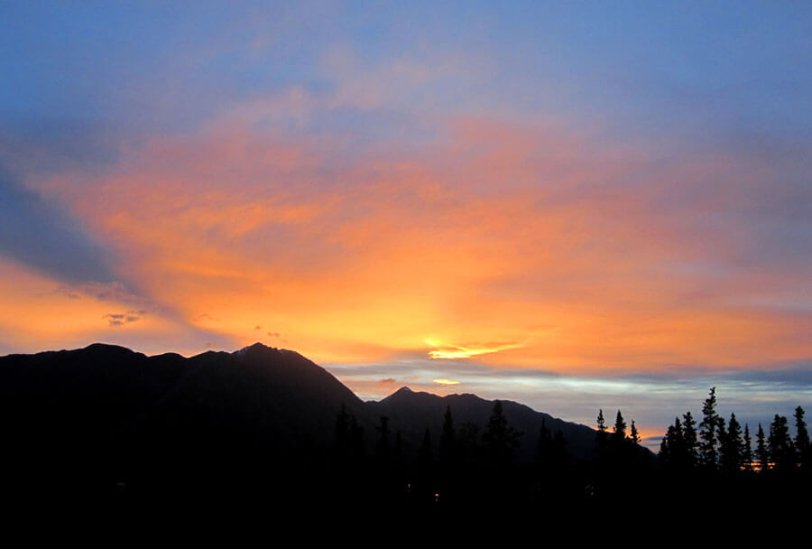
Sunset in Kluane Lake Research Station (KLRS) – August 2011
References
- Daniel H. Shugar, John J. Clague, James L. Best et al. River piracy and drainage basin reorganization led by climate-driven glacier retreat. Nature Geo science vol. 10, pages 370-375, 2017.
- Daniel H. Shugar, John J. Clague, James L. Best, Christian Schoof, Michael J. Willis, Luke Copland, Gerard H. Roe. River piracy and drainage basin reorganization led by climate-driven glacier retreat. Nature Geoscience, May 2017.
- David J. Lowe. Yukon/Exploration and Geological Services Division, Yukon Region, Indian and Northern Affairs Canada. Department of Earth and Ocean Sciences, University of Waikato, Private Bag 3105, Hamilton 3240, New Zealand Quaternary Geochronology 6, , p. 239-247,107-153, 2011.
- D.S. Emond, L.H. Weston and L.L. Lewis. Resedimentation of the late Holocene White River tephra, Yukon Territory and Alaska. Yukon Exploration and Geology, 2002.
- Eva Holland. Letter from the Yukon Territory: A rare case of river piracy threatens an entire community. Pacific standard, Jan 16, 2019.
- Janice Brahney, John J. Clague, Brian Menouos & Thmas W.D. Edwards, Geochemical reconstruction of late Holocene drainage and mixing in Kluane Lake, Yukon Territory. Journal of Paleolimnology vol. 40, pages 489–50, 2008.
- Janice Brahney, John J. Clague, Brian Menounos, Thomas, W.D. Edwards. Timing and cause of water level fluctuations in Kluane Lake, Yukon Territory, over the past 5000 years. Science Direct Quaternary research 70, 2008.
- John J. Clague, Brian H. Luckman, Richard D. VanDorp, Robert Gilbert, Duane Froese, Britta J.L.Jensen, Alberto V. Reyes. Rapid changes in the level of Kluane Lake in Yukon Territory over the last millennium. Quaterary research Vol. 66, Issue 2, September 2006, Pages 342-355
- Marc Oliva. The Little Ice Age, the climatic background of present-day warming in Europe. Article in Cuadernos de Investigacion Geografica 11(1), Nov 2017.
- Menounos, B., & al. Latest Pleistocene and Holocene glacier fluctuations in western Canada, Quaternary Science Reviews, 2008.